|
 |
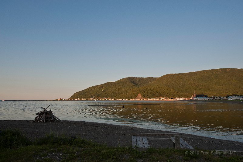
| 87 | Bay St Louis, QC. It is the northern most point along the southern bank of the St Lawrence River! It is located a few miles north of the 49th parallel which is the boundary between the Canada and the USA from Washington State to Minnesota! |
| Photographer: FRED SELIGMAN MD | Camera: NIKON D3 | Date: 7/20/10 6:32 PM | ISO: 200 | Exp. Time: 1/200s | Aperture: 7.1 | Focal Length: 24.0mm (~24.0mm) | Flash: No | Latitude: N 49°13'50.59" | Longitude: W 65°44'16.58" | Altitude: 5 metres | GPS time: 23:31:54 UTC | Copyright: © 2010 Fred Seligman MD | See map |
| Total images: 146 | Last update: 8/2/10 10:58 PM | HomePage | Fred Seligman's website | Help |